A century after the Great War, it is difficult to imagine the impact the war had on the landscape in Flanders. The devastation of 5 years of trench warfare and the industrial scale of artillery shelling was complete: along the entire front zone from the coast at Nieuwpoort to the border with France in Comines-Warneton, and over an area of over 10 kilometers wide, the landscape was altered into a muddy and totally unrecognisable lunar landscape. Month after month, thousands of shells exploded in these areas; in total, about 1 to 1.4 billion shells were fired during the First World War.
Aerial photographs taken during the war for military purposes are the only way to illustrate this. Comparing them with present-day images reminds us of the extreme violence (imagine being a soldier, having to live and fight in these conditions) and shows us the will of the Belgians to reconstruct and reuse the landscape after the war.
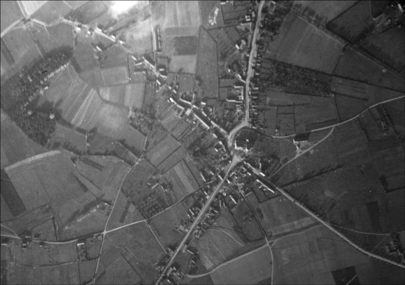
In Octobre 1917, the whole village of Passendale is annihilated. Only the ruins of the church are still recognisable. Today, the village has reclaimed the barren ground and has expanded year by year. Below is an animation that shows the gradual devastation over the years.
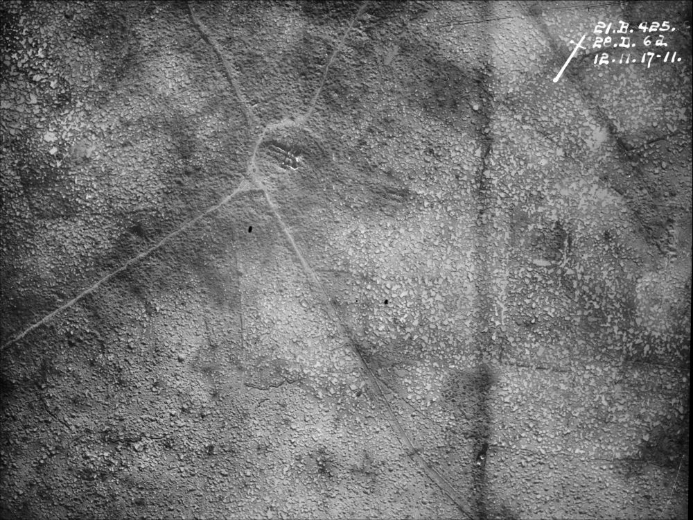
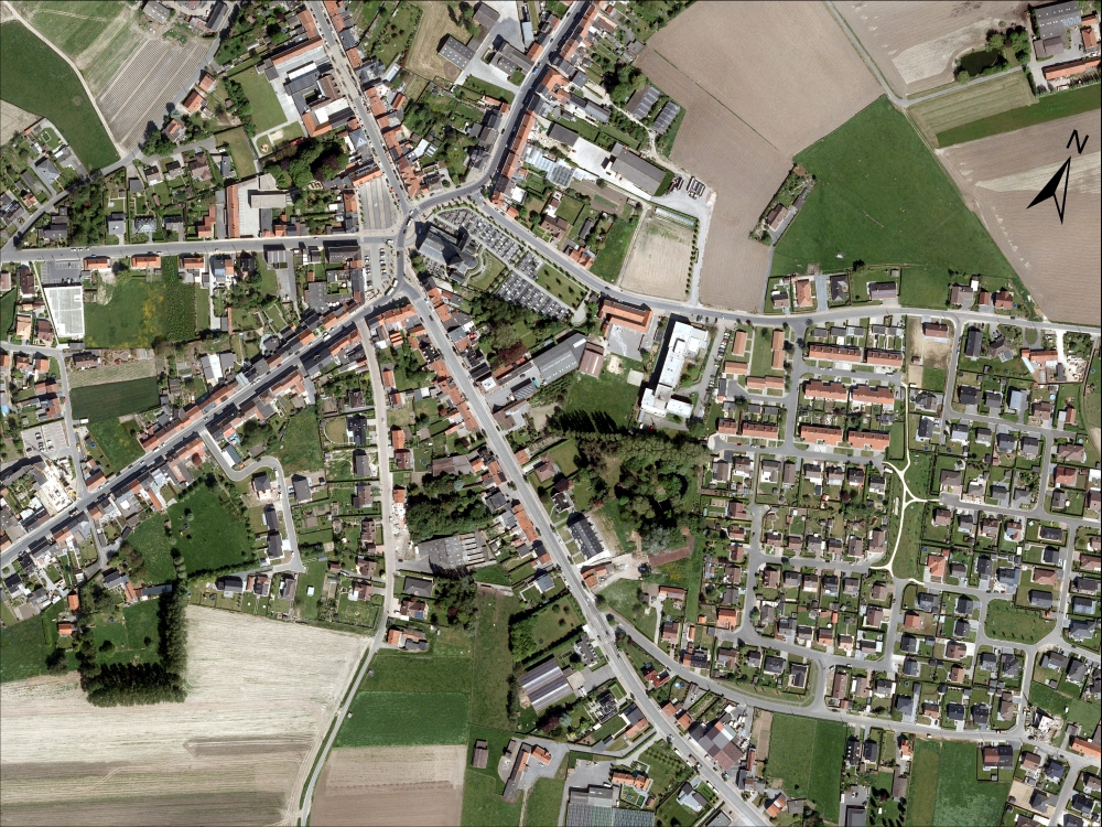
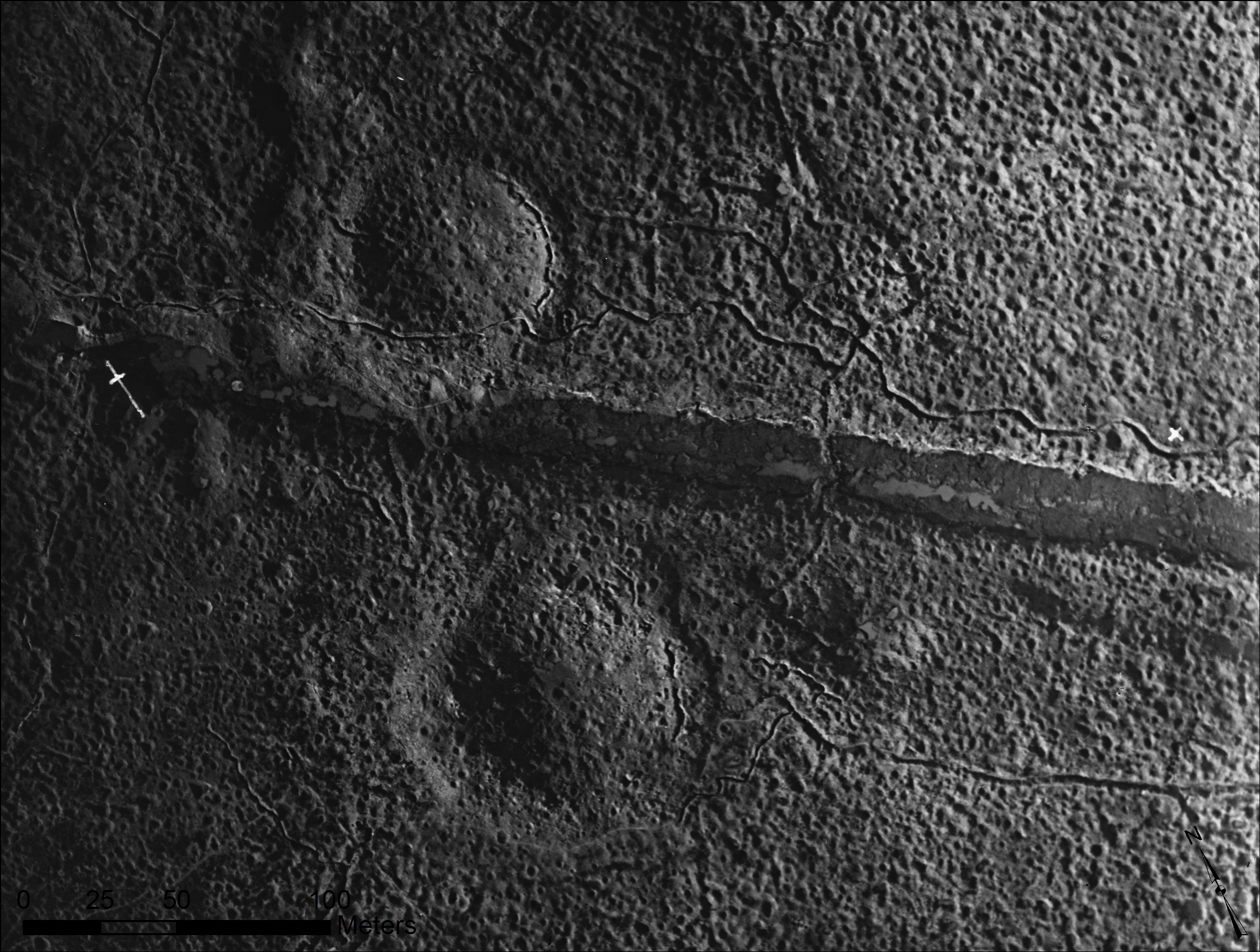
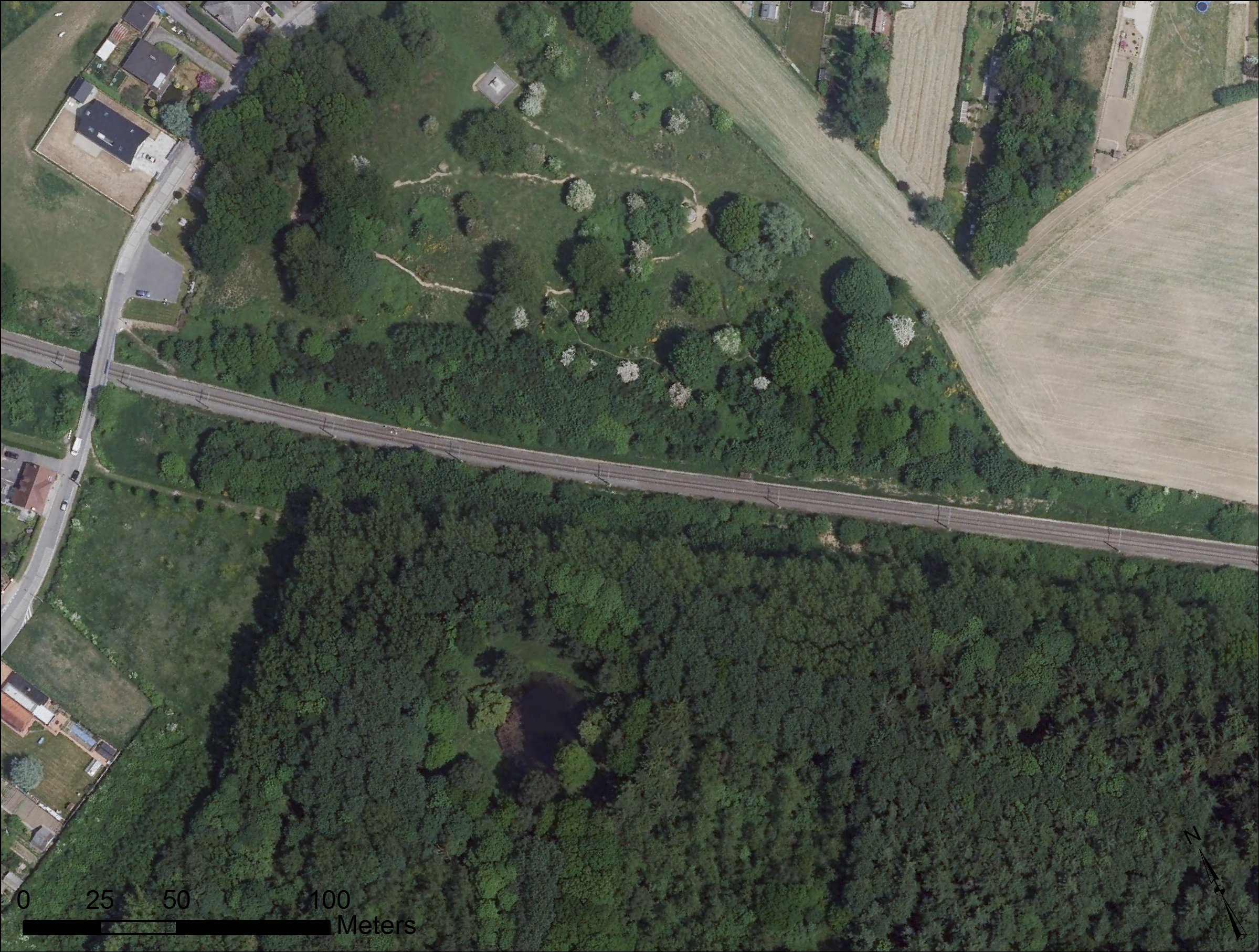
The devastated landscape of Peckham Farm in 1917, just after the explosion of a British mine under the German front line, compared to the rural landscape it has returned to today (2012)
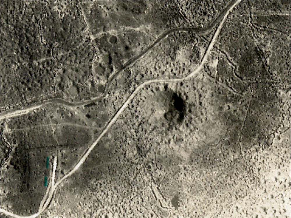
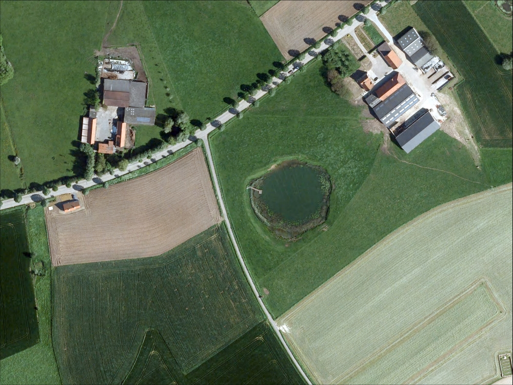
The mine craters of Hill 60 and the Caterpillar in Zillebeke, near Ypres. On 7 June 1917, two enormous mine charges detonated 27,4 m below Hill 60 and 30,5 m below the Caterpillar, charged with respectively 24.267 kg and 31.752 kg of explosives. It enabled the Brittish forces to recapture the hill from the German army. Today the area is a place of commemoration, with the massive craters still visible in the woods.